

Aurora Observatory
Real-time space weather intelligence and expert interpretation of aurora visibility conditions.
Understanding the Data
Solar Wind Speed
Typical: 300–400 km/s
>500 km/s enhances aurora activity
>500 km/s enhances aurora activity
IMF Bz (Critical)
Southward = energy transfer
Negative Bz required
Negative Bz required
Density & Pressure
Higher density = stronger aurora
>10 n/cm³ significant
>10 n/cm³ significant
KP Index (0–9)
Global geomagnetic activity scale
KP 5 = storm level
KP 5 = storm level
Auroral Oval
Expands equatorward during storms
Latitude Dependency
Lower latitudes require higher KP
Solar Flares
Indicate solar activity levels
CMEs
Primary drivers of major storms
Coronal Holes
Recurring high-speed solar wind
Aurora Score
Combined real-time indicator
Viewing Conditions & Strategy
Darkness
Requires astronomical darkness
Cloud Cover
Clear skies essential
Direction
Look toward magnetic pole
Best Time
21:00 – 02:00 local time
Mobility
Conditions change rapidly
Patience
Aurora appears in bursts
Aurora Insights & Forecast
Loading...
--
- Bz Trend: --
- Darkness: --
- Sunset: --
- Outlook: --
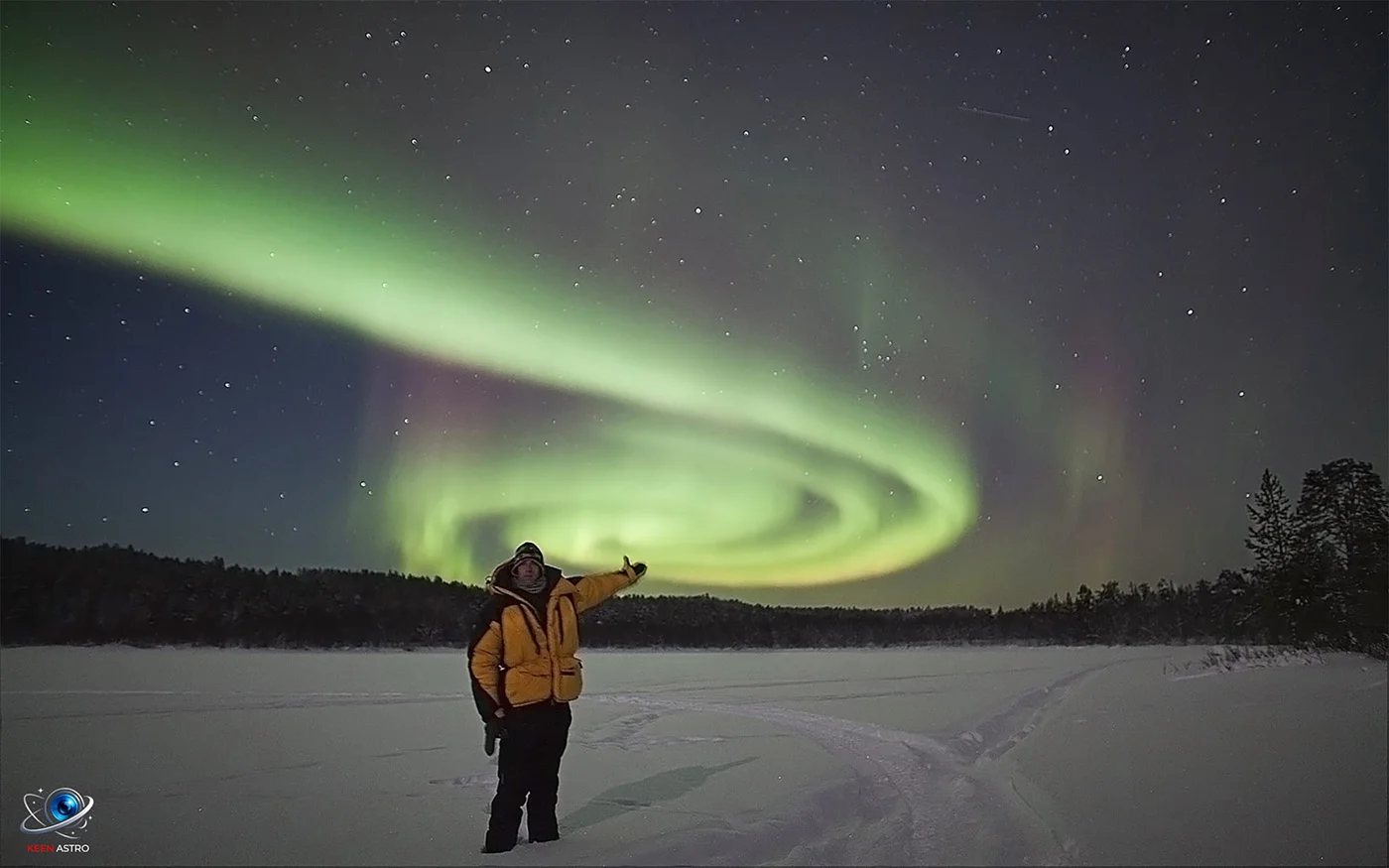
Andy Keen beneath the Aurora Borealis in Lapland — a self-portrait captured during a timelapse sequence.
Aurora Mission Control
Loading...
Solar Wind
--
Density
--
Energy Flux
--
IMF Bz
--
--
KP Index
--
Scale: 0–9
Aurora Score
--
Scale: 0–100
Live Solar Activity
Flare Class
--
X-ray Flux
--
Flare Probability
--
Live Solar Image
Live Aurora Oval (NOAA OVATION)
Updating…
Real-time auroral oval projection • Updates every 2 minutes